Advertising
 Panoramic view of the Himalayas mountain range with Mount Everest (Chomolungma) as seen from the north, inside Tibet.
Image: W. Mason Fuller
About Asia
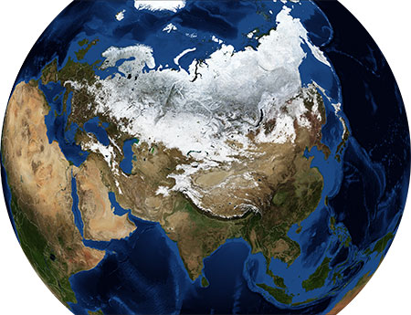
The map shows the bulk of Asia without the
Middle East. Asia is the largest of the world's continents, it constitutes nearly one-third of
Earth's landmass and is lying entirely north of the equator, except for some Southeast Asian islands. Asia occupies the better part of Eurasia, the largest single landmass on the planet. For good measure, the Malay Archipelago was added to Asia, because it happens to be in the region. Asia borders
Europe (which is part of the same landmass) in the west, along the Ural Mountains, and across the Caspian Sea. The continent is bounded by the Arctic Ocean in the north, the Pacific Ocean in the east, and the Indian Ocean in the south.
For the average Westerner point of view, Asia represents foremost the spices of India, Sushi and Kobe beef from Japan, silk and fine china from China. Zen, Buddhism, Hinduism, and Taoism are the major religions and philosophies associated with Asia, even though Indonesia is currently the most populous country with a Muslim majority population.
Map of Asia
 Political Map of Asia
 (without the
Middle East)
The map shows the largest part of Asia, with surrounding oceans and seas. Asian nations with international borders, national capitals, major cities, and major geographical features like mountain ranges, rivers, and lakes.

You are free to
use the above map for educational and similar purposes (fair use); please refer to the Nations Online Project.
More about Asia
Area: about 49,700,000 km² (19,189,277 sq mi) it covers
about 30 percent of Earth's total land area.
Population: more than 4.6 billion people (in 2020), comprise about 60 percent of the world's population.
The highest point is Sagarmatha (or Chomolungma, also known as Mount Everest) at 8,848m (29,028 ft)
on the China–Nepal border.
The largest lakes are the Caspian Sea (salt lake) 371,000 km² (143 250 sq mi), and Ozero Baykal, or Lake Baikal (31,500 km²) in Siberia, is the world's largest freshwater lake by volume.
The longest river is the Yangtze (Yángzî Jiang, or Chang Jiang (simplified Chinese: 长江) in China with a length of 6,380 km (3,964 mi).
The following Asian subregions are depicted on the map:
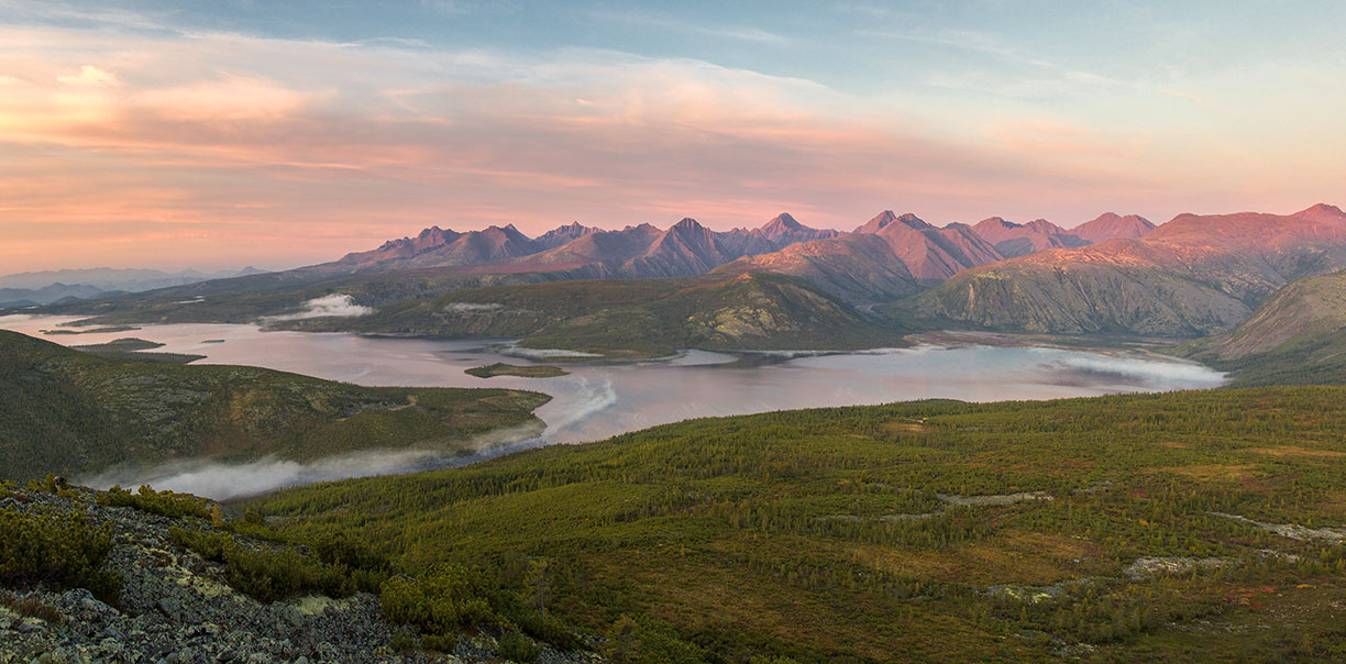 The Angachak Ridge rises above Jack London Lake in the Yagodninsky District, Magadan Region, in Russia's Far East.
Image: Sergei siluyanov
North Asia, also Northern Asia, consists of the
Russian Federation east of the Ural Mountains: the Ural region, Siberia, and the Russian Far East. North Asia covers an area of 13.1 million km², about 77% of Russia's territory. In the sparsely populated region, four times the size of India, live about 34 million people.
Central Asia
In the modern standard definition, the region is home to the 'stan-countries,' all former Soviet republics,
Kazakhstan,
Kyrgyzstan,
Tajikistan,
Turkmenistan, and
Uzbekistan, some definitions also include Afghanistan. Central Asia has an area of 4 million km² and a population of 73 million. By far the largest country is Kazakhstan (2,724,900 km²). The most populous of all the nations in Central Asia is Uzbekistan (34.2 million inhabitants).
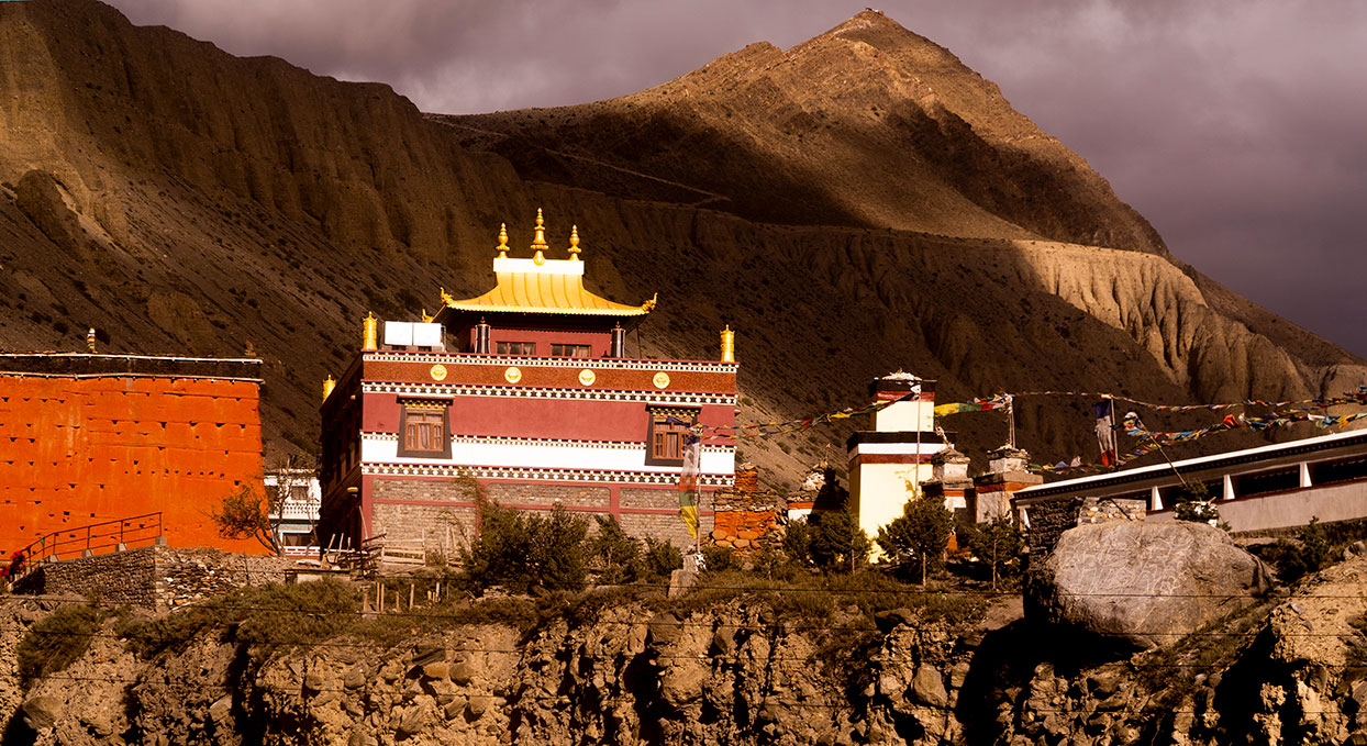 Kag chode, a Buddhist temple in the village of Kagbeni in Mustang, the former Kingdom of Lo, in Nepal.
Image: Nyoupaneroshan
The region of South Asia, or Southern Asia, includes
Afghanistan,
Bangladesh,
Bhutan,
India,
Maldives,
Nepal,
Pakistan, and
Sri
Lanka. South Asia is among the world's most populated regions; 1.8 billion people live in an area of more than 5 million km². The country with the largest
population is India, with nearly 1.4 billion people.
East Asia
The eastern region of Asia consists of the Asian nations of
China (including the special administrative regions of
Hong Kong,
Macau, and
Tibet),
Japan,
Mongolia, North Korea (Democratic People's Republic of Korea), South Korea (Republic of Korea), and
Taiwan (Republic of China). East Asia covers an area of 11.8 million km² (4.5 million sq mi). 1.68 billion people live in East Asia. The most populous country is China, with 1.44 billion inhabitants.
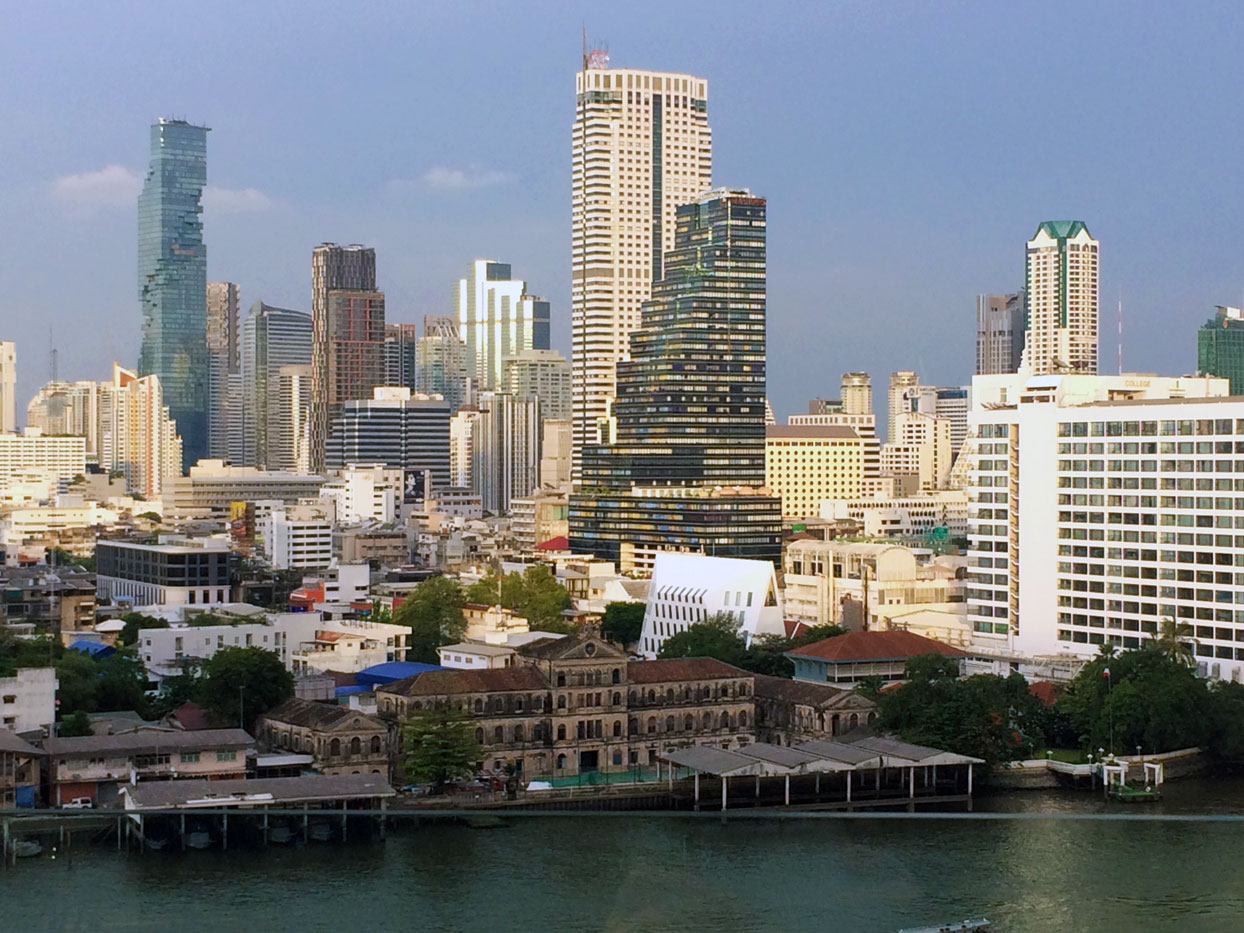 The Central Business District of Bangkok at Chao Phraya River. The capital city of Thailand is the nation's cultural and commercial center and a major transportation hub in Southeast Asia. Bang Sue Central Station will be, after completion in June 2021, the largest railway station in Southeast Asia.
Image: kk nationsonline.org
Southeast Asia consists of two geographic regions:
I. Mainland Southeast Asia, or the Indochinese peninsula, includes
Myanmar (Burma),
Thailand,
Laos,
Vietnam,
Cambodia, and Peninsular
Malaysia.
II. Maritime Southeast Asia, also known as the Malay Archipelago, includes the world's two largest island countries,
Indonesia and the
Philippines. There are an estimated 25,000 islands in Maritime Southeast Asia.
The largest islands in the Malay Archipelago by area are New Guinea, Borneo, Sumatra, Sulawesi (Celebes), Java, Luzon, and Mindanao.
The region is also home to India's
Andaman and Nicobar Islands,
Singapore,
Brunei (surrounded by East Malaysia) on the island of Borneo, and
East Timor (Timor-Leste) on the island of Timor. Indonesia shares the island of New Guinea with
Papua New Guinea.
Southeast Asia has a land area of 4.5 million km²; an estimated 668 million people live in Southeast Asia (in 2020).
[1]
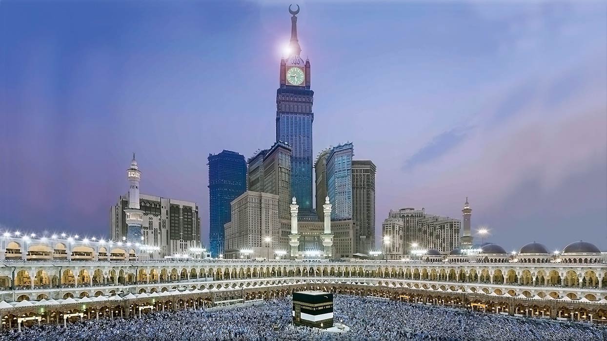 The government-owned Abraj Al-Bait Tower overlooking the Great Mosque of Mecca in Saudi Arabia, with the Kaaba, the holiest site for Muslims, at the center.
Image: khadim-un-nabi Rao
(see the map of
Western Asia and the Middle East)
West Asia, Western Asia, Southwest Asia, Middle East or Near East are all designations for Asia's southwestern territory. West Asia is home to several geographical and historical regions, including Asia Minor or Anatolia (peninsula), the Caucasus region, the Eastern Mediterranean or the Levant, the historical region of Mesopotamia, the Armenian Highlands, the historical region of Syria, the geographical and historical region of Palestine, the
Sinai Peninsula, the
Arabian Peninsula with the Arabian desert ecoregion, and the Iranian Highlands.
There are 20 independent countries in Western Asia,
Armenia,
Azerbaijan,
Bahrain,
Cyprus, the northeastern part of
Egypt (Sinai),
Georgia,
Iran,
Iraq,
Israel,
Jordan,
Kuwait,
Lebanon,
Oman,
the State of Palestine (Gaza Strip and West Bank),
Qatar,
Saudi Arabia,
Syria,
Turkey, the
United Arab Emirates, and
Yemen.
Western Asia has a land area of about six million km² and is home to 280 million people (in 2020).


