Nations Online
All Countries in the World
|
One Planet Nations Online All Countries in the World | |
Home  |
___ Satellite View and Map of the City of Dili, Timor-Leste |
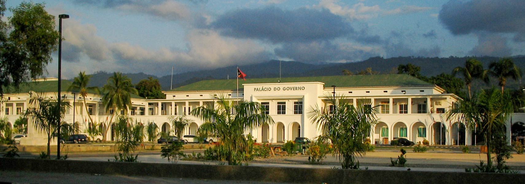
 Government's Palace in Dili houses the office of the Prime Minister. Image: Charles Wiriawan |
|
About DiliSatellite view is showing Dili, largest city, chief port and the national capital ofDili has a population of about 150,000 inhabitants. Official languages are Tetum and Portuguese. The map shows a city map of Dili with expressways, main roads and streets, and the location of Dili International Airport (IATA code: DIL) west of the city. To find a location use the form below. |
|
| To find a location type: street or place, city, optional: state, country. |
Local Time Timor-Leste:
Thursday-April-18 10:41
Time zone: East Timor Time (TLT) :: UTC/GMT +9 hours |
|
φ Latitude, λ Longitude (of Map center; move the map to see coordinates): , |
||||||
| Google Earth: Searchable Map and Satellite view of Dili, Timor Leste. City Coordinates: 8°34′S 125°34′E |
Bookmark/share this page
|
|||||
| More about Timor Leste: External Link Wikipedia: Dili |
Weather Conditions Dili |
Related Consumer Information:
|
||||
Countries and Territories of Asia Countries of the World: A - C | D - G | H - L | M - P | Q - T | U - Z Continents: Africa | The Americas | Australia/Oceania | Europe |
||||||
Map Help [ show ]  |
||||||
One World - Nations Online .:. let's care for this planet Promote that every nation assumes responsibility for our world. Nations Online Project is made to improve cross-cultural understanding and global awareness. More signal - less NOISE |
| Site Map
| Information Sources | Disclaimer | Copyright © 1998-2023 :: nationsonline.org |