Advertising

India Flag detail
Home Earth Continents Asia India Country Profile States and Union Territories of India Google Earth Goa Map

___ Satellite View and Map of Goa (गोवा), India


Chitrakote Falls in Jagdalpur, Bastar district, Chhattisgarh
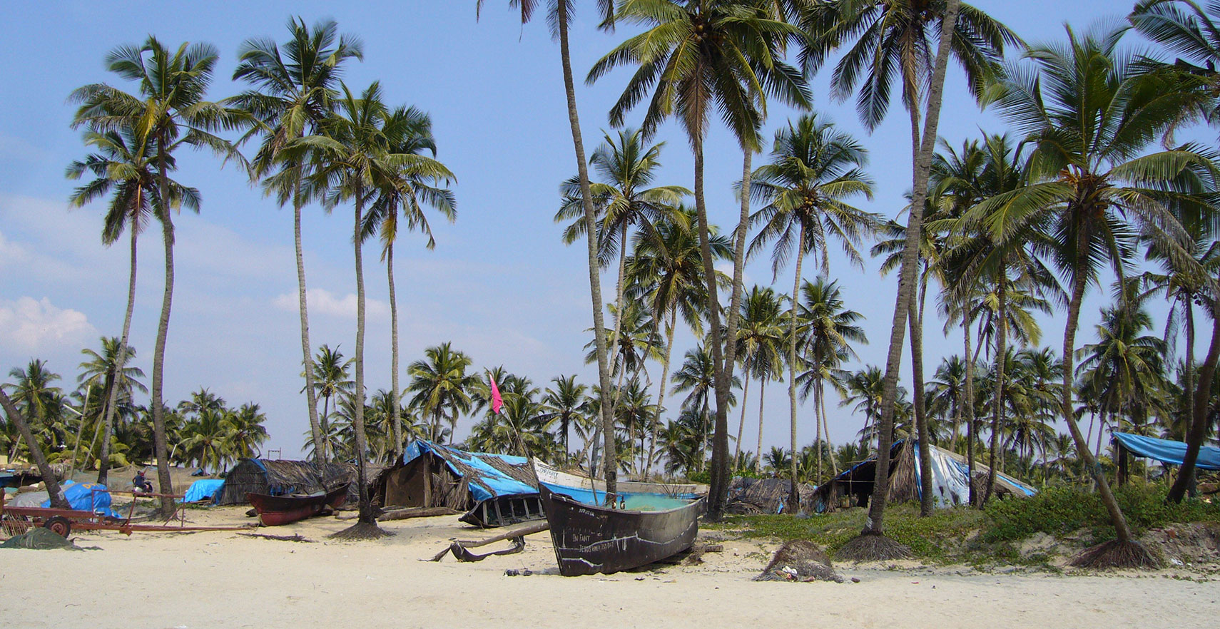
Once famous Colva Beach in Goa, is now a tourist crowded stretch of sand - has daily sunsets!
Image: Tanya Dedyukhina

About Goa


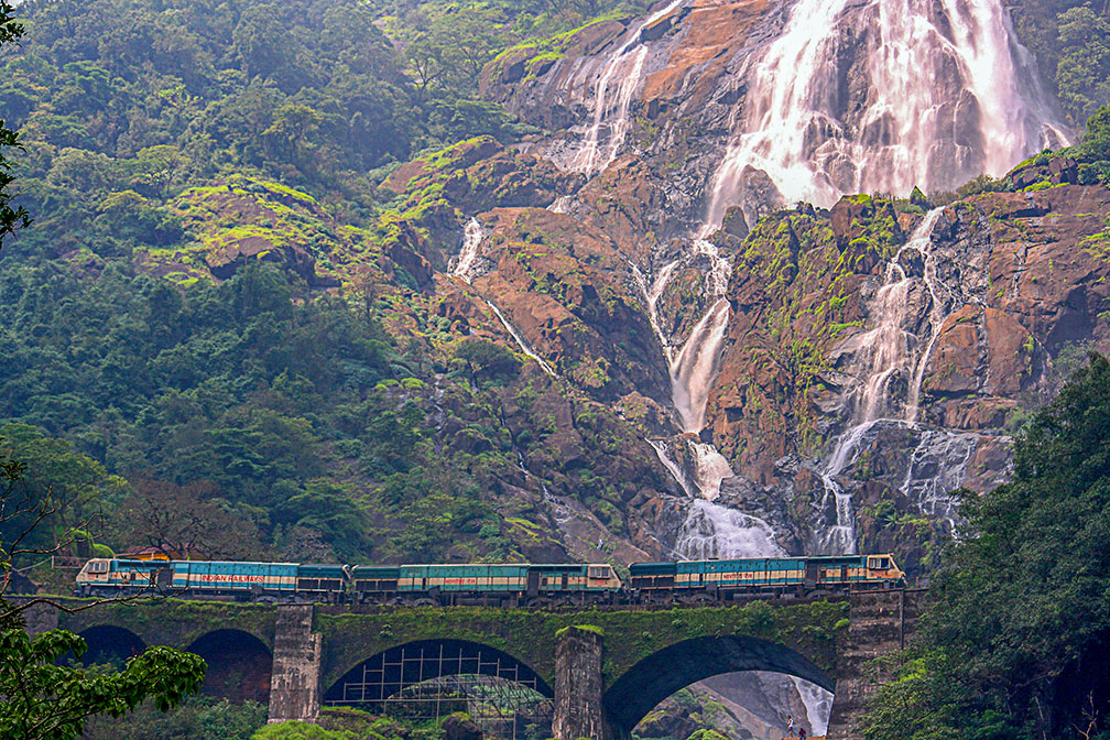
Indian train at Dudhsagar Falls
Indian Railways crossing in front of Dudhsagar Falls near the Goa-Karnataka border.
Image: Purshi


Seal of Goa
The satellite view shows Goa, one of India's 29 states. Goa is situated on the west coast of the subcontinent.

The state is bordered in the north by the Terekhol River which separates it from the Indian state of Maharashtra, in the east and south by Karnataka State and in the west by the Arabian Sea.

Goa was once a Portuguese colony and an important trading center. India seized the land in 1961. Goa then formed a Union Territory with Daman and Diu until 1987, when it was made a state.


Today, Goa has a population of two million (est. 2019).
The capital of Goa is Panaji (Eng.; Panjim). The largest city is Vasco da Gama on the tip of the Mormugao peninsula. Spoken languages are Konkani and Marathi.


The map shows Goa state with borders, cities, towns, expressways, main roads and streets, and the location of Goa Airport (IATA code: GOI) located in the village of Dabolim east of Vasco da Gama.

To find a location use the form below.


Sorry! Google's pricing policy has made it impossible for us to continue showing Google Maps. We apologize for any inconvenience.

Google Map: Searchable map and satellite view of Goa, India.

φ Latitude, λ Longitude (of Map center; move the map to see coordinates):

,


Bookmark/share this page
  Instagram button
More about India

Landmarks:
Taj Mahal
Satellite view of the famous mausoleum.

Cities:
Information and searchable map/satellite views of
Delhi
Chandigarh
Chennai
Hyderabad
Kolkata
Mumbai

Country:
Searchable map/satellite view of India
Map of India
Administrative Map of India
Political Map of Northern India and the Kashmir region
Searchable location map of India's airports
India Country Profile
India in numbers
India Key Statistical Data.

States and Union Territories of India

Continent:
Map of Southeast Asia
Map of Asia


External Links:
Goa
Official Goa government website.

Goa Tourism
Department of Tourism, Government of Goa.

Wikipedia: Goa
Wikipedia entry Goa.
 
Current Weather Conditions Goa:

GOA WEATHER

Advertisements:


States of India:
Andhra Pradesh, Arunachal Pradesh, Assam, Bihar, Chhattisgarh, Goa, Gujarat, Haryana, Himachal Pradesh, Jammu & Kashmir, Jharkhand, Karnataka, Kerala, Madhya Pradesh, Maharashtra, Manipur, Meghalaya, Mizoram, Nagaland, Odisha, Punjab, Rajasthan, Sikkim, Tamil Nadu, Telangana, Tripura, Uttarakhand, Uttar Pradesh, West Bengal

Google Maps of India's Union Territories:
Andaman and Nicobar Islands, Chandigarh, Dadra & Nagar Haveli, Daman & Diu, Lakshadweep, Puducherry

Major Cities in South-Central Asia:
Almaty, Ashgabat, Astana, Baku, Bishkek, Colombo, Dhaka, Dushanbe, Islamabad, Kabul, Karachi, Kathmandu, Lahore, Lhasa, Male, Samarkand, Tashkent, Tehran, Thimphu
 

Map Help [ show ]
up