About Paris
The satellite view shows the de facto French capital and the largest city of
 France
. Paris is situated on the River Seine in northern France. "The City of Lights" is one of the great cultural centers of Europe, famous for its lifestyle, cuisine, arts, and fashion. It was the European Capital of Culture in 1989.
On the annotated map below you will find the location of the most famous landmarks of Paris.

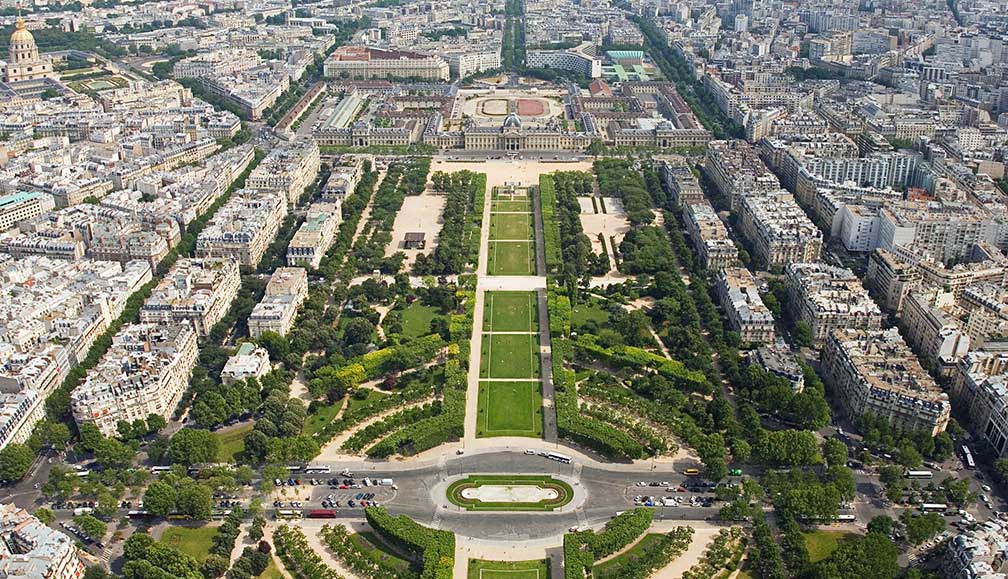
Champ de Mars and École Militaire seen from the Eiffel Tower.
Image: David Iliff
Even though Paris is the uncontested center of France, the French constitution does not recognize any capital city in France. By law, Paris is the seat of both houses of Parliament of the French Republic (the National Assembly and the Senate), but their joint congresses are held at the
Palace of Versailles.
Paris has a city population of about 2.15 million inhabitants, in its metropolitan area live almost 10 million people.
In 2016 Paris was one of the host cities for the
UEFA Euro 2016 football games. There were two venues for the event, the Parc des Princes stadium in the southwest of Paris, and the Stade de France, the national stadium of France is situated about 8 km by road (via A1) north of Paris in the commune of Saint-Denis.
Just zoom in (+) to see the
Eiffel Tower, the city's
most famous landmark.
The Map shows a city map of Paris with expressways, main roads, and streets, and the Airports of Paris:
Zoom out to find
Charles de Gaulle Airport also known as Roissy Airport (
IATA code: CDG), about 25 km by road (via A1) northeast of the city center,
and
Paris-Orly Airport (
IATA code: ORY) about 16 km by road (via E5 and A106) south of Paris.
Le Bourget Airport, the famous historical landing site of Charles Lindberg is located in Le Bourget about 15 km by road (via A1) north-northeast of Paris.
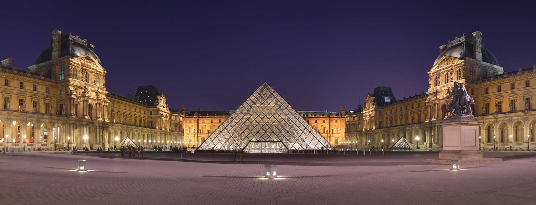
To find a location like the Louvre or the Arc de Triomphe or any other location in Paris, use the form below.


