Nations Online
All Countries in the World
Nations Online All Countries in the World | |
Home  |
___ Satellite View/Map of Afghanistan |
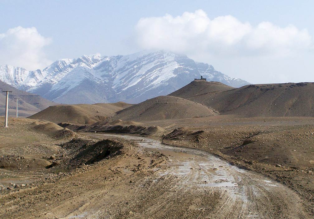
About Afghanistan Satellite view is showing the mountainous landlocked country in Central Asia, at the crossroad between South Asia and the Middle East. Satellite view is showing the mountainous landlocked country in Central Asia, at the crossroad between South Asia and the Middle East.Countries with international borders to Afghanistan are China, Iran, India (disputed), Pakistan, Tajikistan, Turkmenistan, Uzbekistan. Capital city is Kabul. Official languages are Pashto and Dari (a local form of Persian). The map shows Afghanistan with cities, towns, and main roads. Find out more about the country in our Afghanistan Country Profile. To find a location use the form below. |
|
| To find a location type: street or place, city, optional: state, country. | Local Time Afghanistan:
Thursday-April-18 13:30
Afghanistan Time Zone (AFT): UTC/GMT +4:30 hours |
|
φ Latitude, λ Longitude (of Map center; move the map to see coordinates): , |
||||||
| Google Earth: Searchable map/satellite view of Islamic Republic of Afghanistan. |
Bookmark/share this page |
|||||
| More about Afghanistan: Cities: Country: Afghanistan key statistical data. Continent: | Weather Conditions Kabul
|
Related Consumer Information:
|
||||
Other Countries in Central Asia: Maps of Countries in Central Asia: Kazakhstan Map | Kyrgyzstan Map | Tajikistan Map | Turkmenistan Map | Uzbekistan Map |
||||||
Map Help [ show ] |
||||||
One World - Nations Online .:. let's care for this planet Promote that every nation assumes responsibility for our world. Nations Online Project is made to improve cross-cultural understanding and global awareness. More signal - less NOISE |
| Site Map
| Information Sources | Disclaimer | Copyright © 1998-2023 :: nationsonline.org |