Nations Online
All Countries in the World
Nations Online All Countries in the World | |
Home  |
___ Satellite View and Map of Portugal (República Portuguesa) |
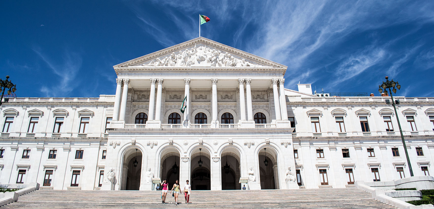 The Palace of São Bento in Lisbon houses the Portuguese Assembly, the parliament of Portugal. Image: kk - nationsonline.org |
About Portugal Satellite view is showing Portugal the westernmost country in Europe, situated on the south-western part of the Iberian Peninsula, bordering the North Atlantic Ocean. Satellite view is showing Portugal the westernmost country in Europe, situated on the south-western part of the Iberian Peninsula, bordering the North Atlantic Ocean.Border country is Spain, and the country shares maritime borders with Morocco. Portugal covers an area of 92,090 km² (including the Azores and Madeira archipelagos), it is compared somewhat smaller than Hungary (93,028 km²), or slightly smaller than the U.S. state of Indiana. 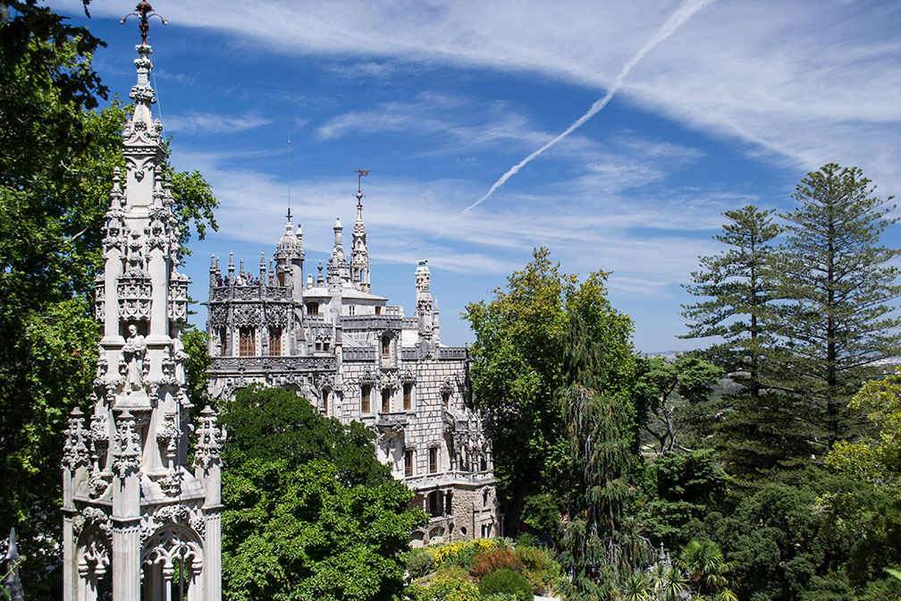 Pena Park and the Romanticist Pena palace (Palácio da Pena) in Sintra. Image: kk - nationsonline.org Portugal climate is maritime temperate (cool, rainy) in the northwest, its Mediterranean climate in the south is making the country a popular tourist destination. Portugal's main attractions for travelers are its hilly capital Lisbon; the famous Algarve coast; Sintra and the Palácio da Pena To find a location use the form below. To view just the map, click on the "Map" button. |
|
| To find a location type: street or place, city, optional: state, country. |
Local Time Portugal:
Friday-April-19 01:08
Standard time zone: Western European Time (WET) No UTC/GMT offsetDaylight saving time in use from end of March until end of October, time zone offset: UTC/GMT +1 hours |
|
φ Latitude, λ Longitude (of Map center; move the map to see coordinates): , |
||||||
| Sorry! Google's pricing policy has made it impossible for us to continue showing Google Maps. We apologize for any inconvenience. Google Map: Searchable map and satellite view of the Portuguese Republic (República Portuguesa). |
Bookmark/share this page |
|||||
| More about Portugal: Cities: Country: Continent: |
Weather Conditions Lisbon
|
Related Consumer Information:
|
||||
| Cities in the Mediterranean Athens, Florence, Istanbul, Ljubljana, Madrid, Monaco, Milan, Naples, Rome, San Marino, Tirana, Valletta, Vatican City, Venice, Zagreb Alexandria, Algiers, Beirut, Benghazi, Cairo, Jerusalem, Nicosia, Tripoli, Tunis, Tel Aviv Maps of other Countries in Southern Europe Croatia Map, Cyprus Map, Greece Map, Italy Map, Macedonia Map, Vatican City State Map Montenegro Map, Portugal Map, Serbia Map, Slovenia Map, Spain Map, Turkey Map Searchable Maps of other Countries in Southern Europe Andorra, Croatia, Cyprus, Greece, Italy, Macedonia, Vatican City State Montenegro, Portugal, Serbia, Slovenia, Spain, Turkey Profiles of other Countries in Southern Europe Andorra, Croatia, Cyprus, Greece, Italy, Macedonia, Vatican City State Montenegro, Portugal, Serbia, Slovenia, Spain, Turkey |
||||||
Map Help [ show ] |
||||||
One World - Nations Online .:. let's care for this planet Promote that every nation assumes responsibility for our world. Nations Online Project is made to improve cross-cultural understanding and global awareness. More signal - less NOISE |
| Site Map
| Information Sources | Disclaimer | Copyright © 1998-2023 :: nationsonline.org |

