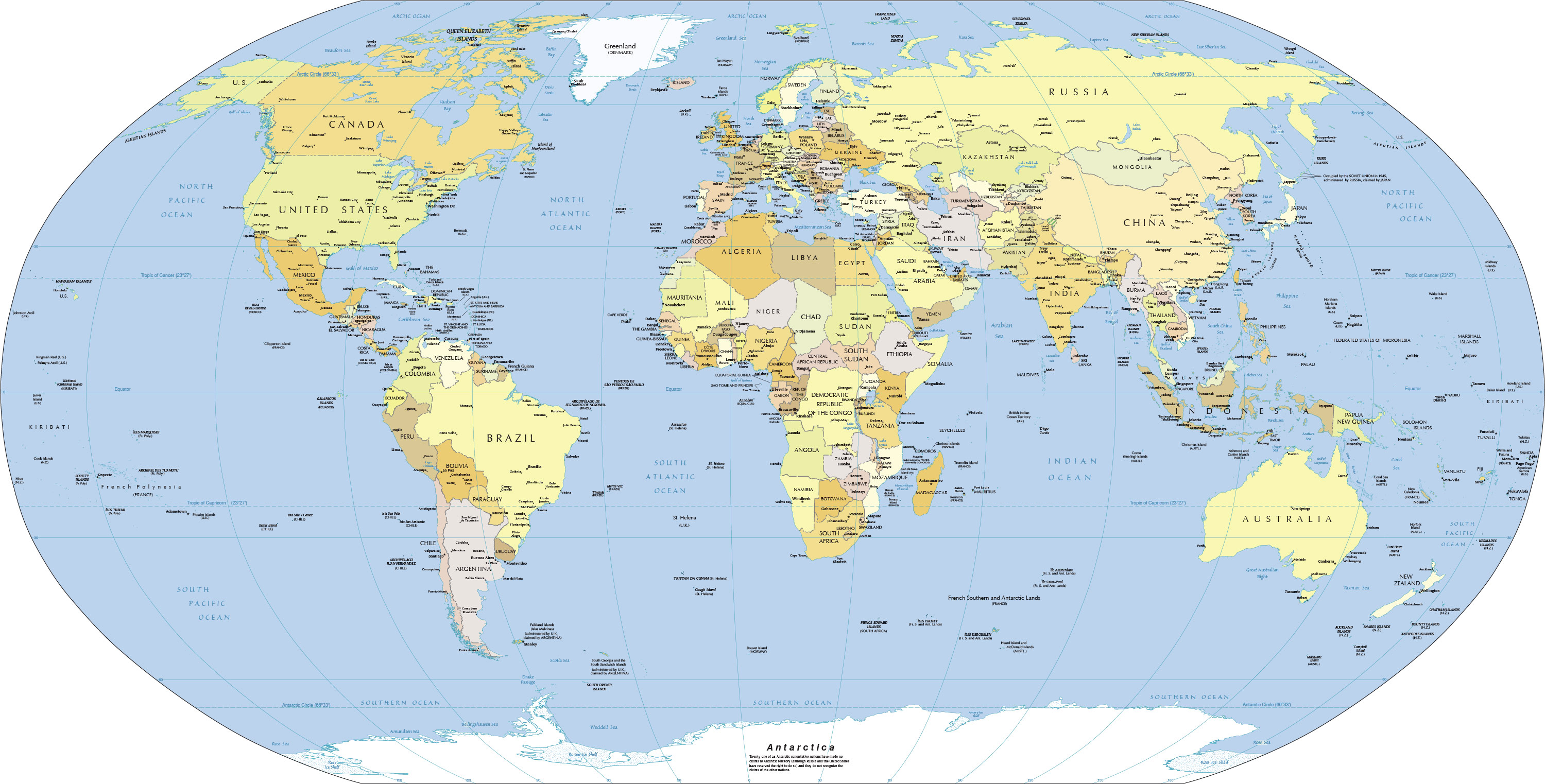
___ Political Map of the World
Political Map of the World showing independent states, dependencies or areas of special sovereignty, islands and island groups as well as the national capitals and major cities.
One World - Nations Online
the countries of the world