Nations Online
All Countries in the World
Nations Online All Countries in the World | |
Home  |
___ Satellite View and Map of Belize |
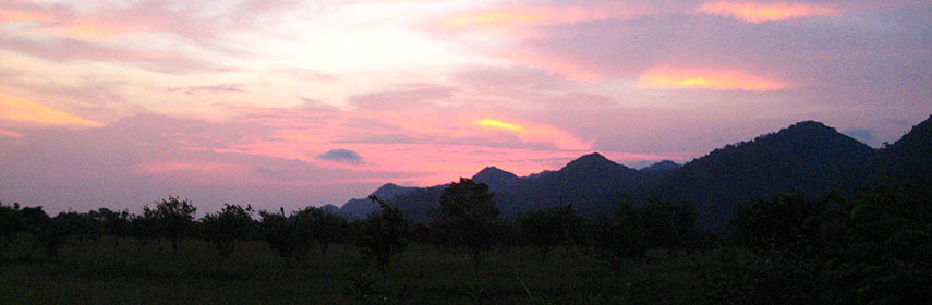 Sunset behind Santa Ana mountains near Punta Gorda, Belize |
About BelizeSatellite view is showing the Central American country, bordering the Caribbean Sea,countries with international borders to Belize are Guatemala and Mexico. Capital city is Belmopan. The map shows Belize with cities, towns, expressways and main roads. To find a location use the form below. To view just the map, click on the "Map" button. |
|
| To find a location type: street or place, city, optional: state, country. |
Local Time Belize:
Thursday-April-25 15:43
Time zone: Central Standard Time (CST) UTC/GMT -6 hours |
|
φ Latitude, λ Longitude (of Map center; move the map to see coordinates): , |
||||||
| Google Maps:Searchable Map of Belize. |
Bookmark/share this page |
|||||
| More about Belize: Cities: Country: Continent: Historically related Countries: |
Current Weather Conditions Belize, weather station at Philip Goldson International Airport.
|
Related Consumer Information:
|
||||
| Searchable Maps of other Countries of Central America: Belize, Costa Rica, El Salvador, Guatemala, Honduras, Nicaragua, Panama Country Profiles: Countries and Territories of The Americas |
||||||
Map Help [ show ] |
||||||
One World - Nations Online .:. let's care for this planet Promote that every nation assumes responsibility for our world. Nations Online Project is made to improve cross-cultural understanding and global awareness. More signal - less NOISE |
| Site Map
| Information Sources | Disclaimer | Copyright © 1998-2023 :: nationsonline.org |

